Services
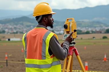
CADASTRAL SURVEY
Guide you on the steps required to obtain legal land title, preparation of site plans for land parcels, surveying of land to obtain diagrams and legal documentation, verification land boundaries to resolve land disputes, location, and placement of missing beacons
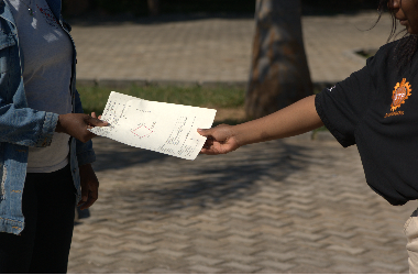
DESIGN & PLANNING
Setting out for infrastructure, implementation of road and drainage designs, surveying for utilities like roads and power lines ,topographic surveys, volumetric Analysis and house architectural design
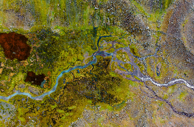
ENVIROMENTAL ASSESSMENTS
Water flow analysis, terrain and elevation modelling, land use, vegetation and ecological modelling, forest, carbon and biomass assessments ,environmental impact assessments and project briefs ,rural livelihood assessments.
GIS (DEVELOPMENT & MANAGEMENT)
Develop and manage GIS solutions, integrate and analyze spatial data, optimize system performance, ensure data accuracy, and support urban planning, environmental monitoring, and infrastructure management.

ENGINEERING SURVEYS
Conduct precise land measurements for construction, set out project layouts, monitor structural integrity, assess terrain for design accuracy, and ensure compliance with engineering specifications.

DRONE MAPPING
Capture high-resolution aerial data, generate accurate 3D maps and models, monitor land changes, assess site conditions, and support surveying, construction, and environmental management.
Trust and Worth
Our Clients


